
 That question could be easier and easier to answer if some of the online mapping services have their way.
I read a Discover magazine article a few months back in which the author was commenting on his excitement over the combination of technologies that seem to be evolving in the field of online map providers.
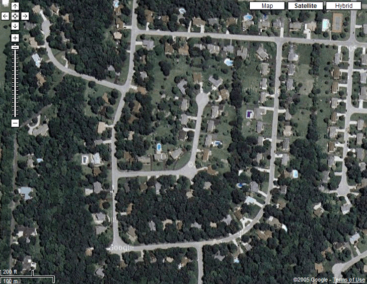
The first technology that he mentioned was called Keyhole, a subscription service provided through Google which uses satellite technology to provide an incredible fly-over view of anywhere (at least in North America, I haven't checked my old haunts in Aberdeen.) Keyhole does offer a free trial of their service, which I took advantage of and which showed me that it's an absolutely incredible service, something to really be seen as it allows you to begin with a view of the entire globe and to fly down to see details as small as cars in driveways (I did find my houses's previous owners' car on their pictures), and some users have taken advantage to provide amazing tours which they've made available flying along coastlines and through beautiful countryside, past chasms of buildings and around intricate old city streets.
The author also mentions Blockview, an Amazon service where the programmers have combined the online mapping technology with street-level photographs of highly-populated areas to allow you to not just plot your destination and path there from above, but to also see what each block looks like from street level, allowing yourself to see which buildings are nearby, which restaurants are by your night's movie, and to see just what you'll see as you need to make your turn. This one I haven't yet tried, but it sounds pretty cool.
The article linked from the title comes from my hometown paper - the Louisville Courier-Journal - and compared some of the major features of Google maps and MSN's Virtual Earth project, both of which use a much more user-friendly interface than mapquest, which is still probably the one I'd go to for directions to and fro - which I've been checking on one of the other sites - like Virtual Earth to get a better idea of what the route as written will look for me.
Which leaves me with the final thought, as it did to the Discover author: now I just need it all in one place. I want to be able to type in my address and my destination address. I want the directions to come back and to be able to see an aerial view (either map or satellite view, ideally both options) and a street-level movie of my trip - all from the same site. We're not there just yet, but considering that I grew up actually using a big, folding map in my car when Dad was driving us around Arizona, we're already in the space age to me.
No comments:
Post a Comment